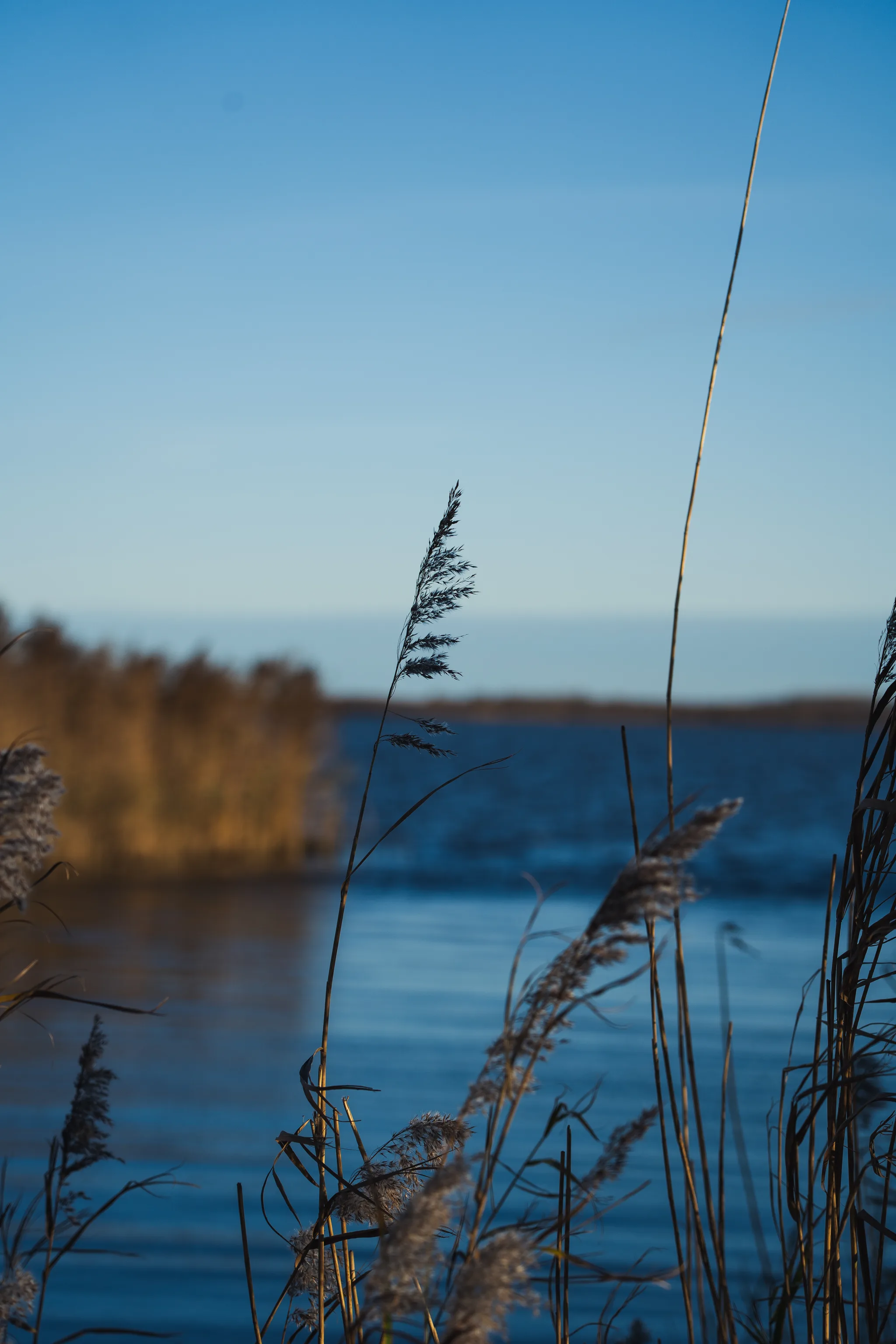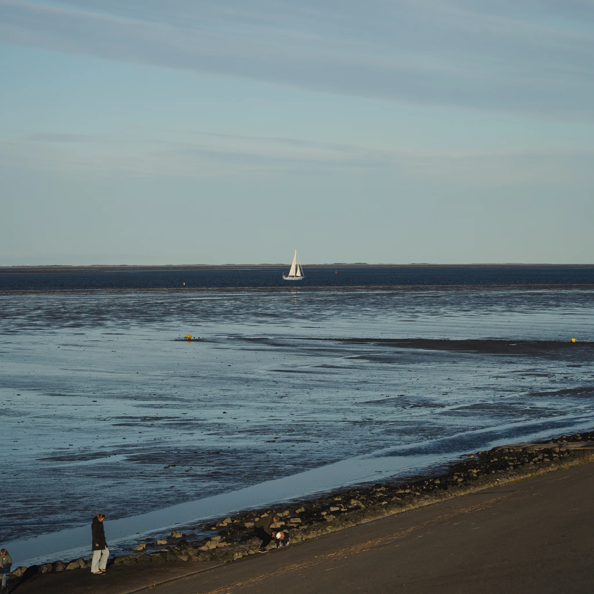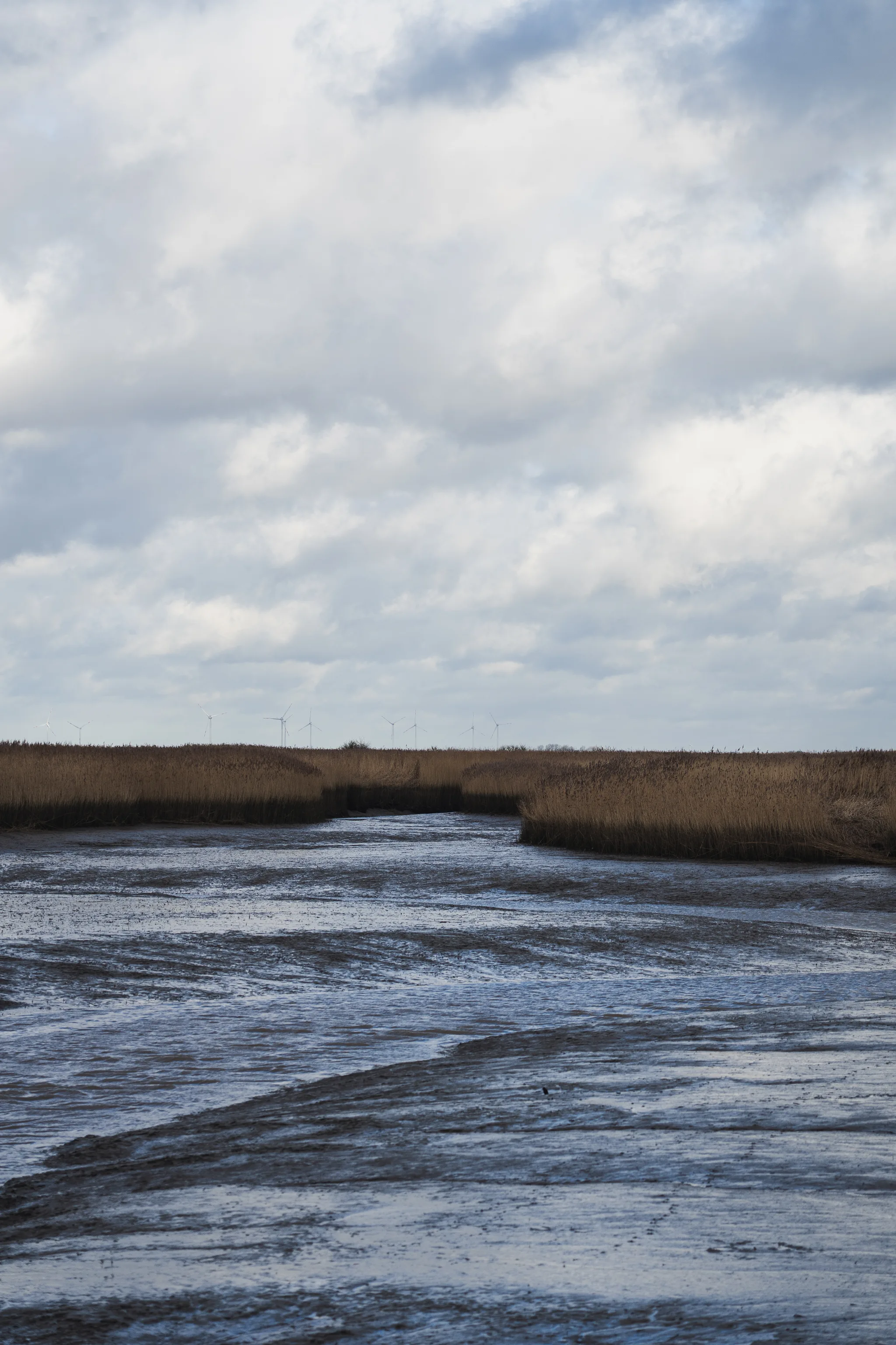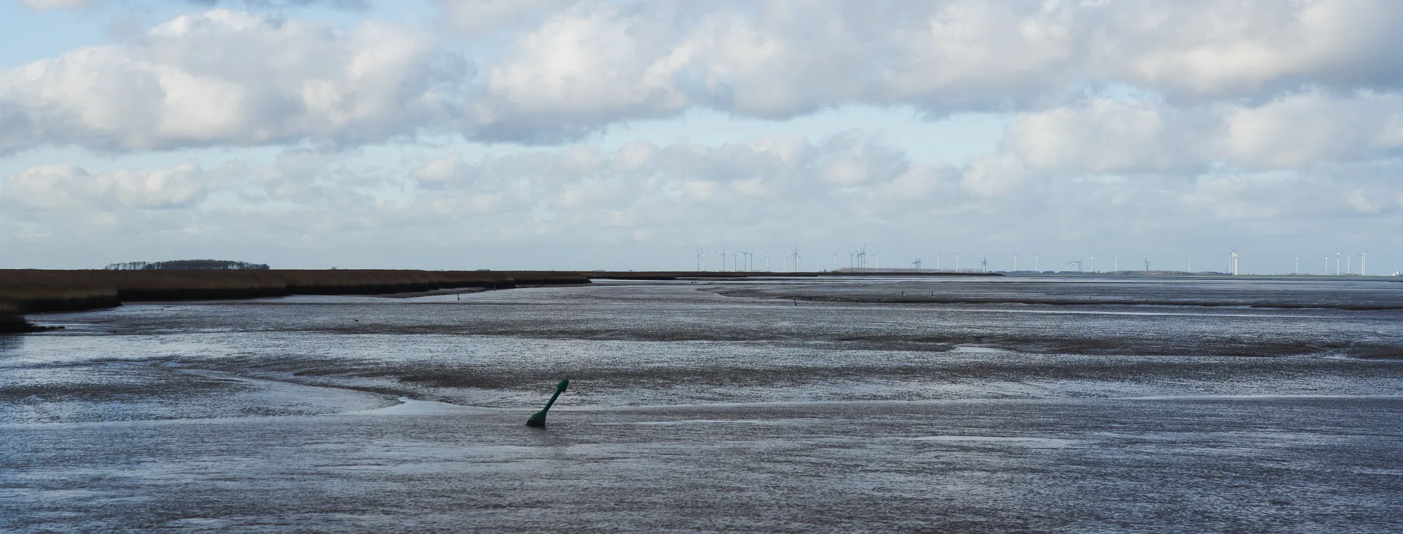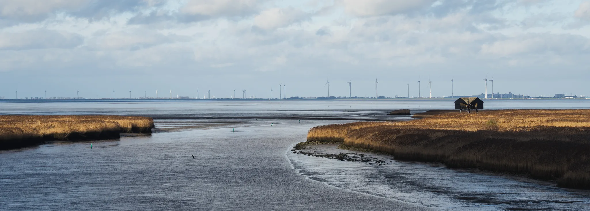
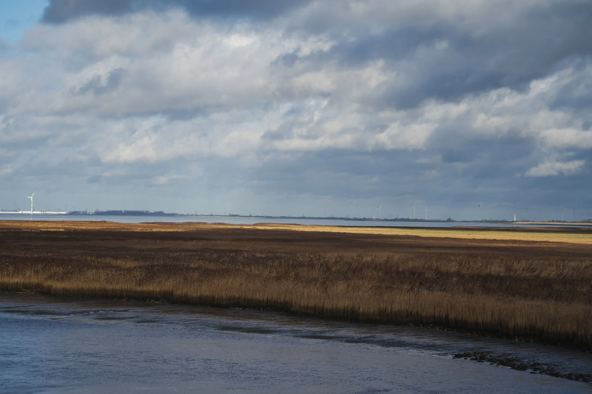
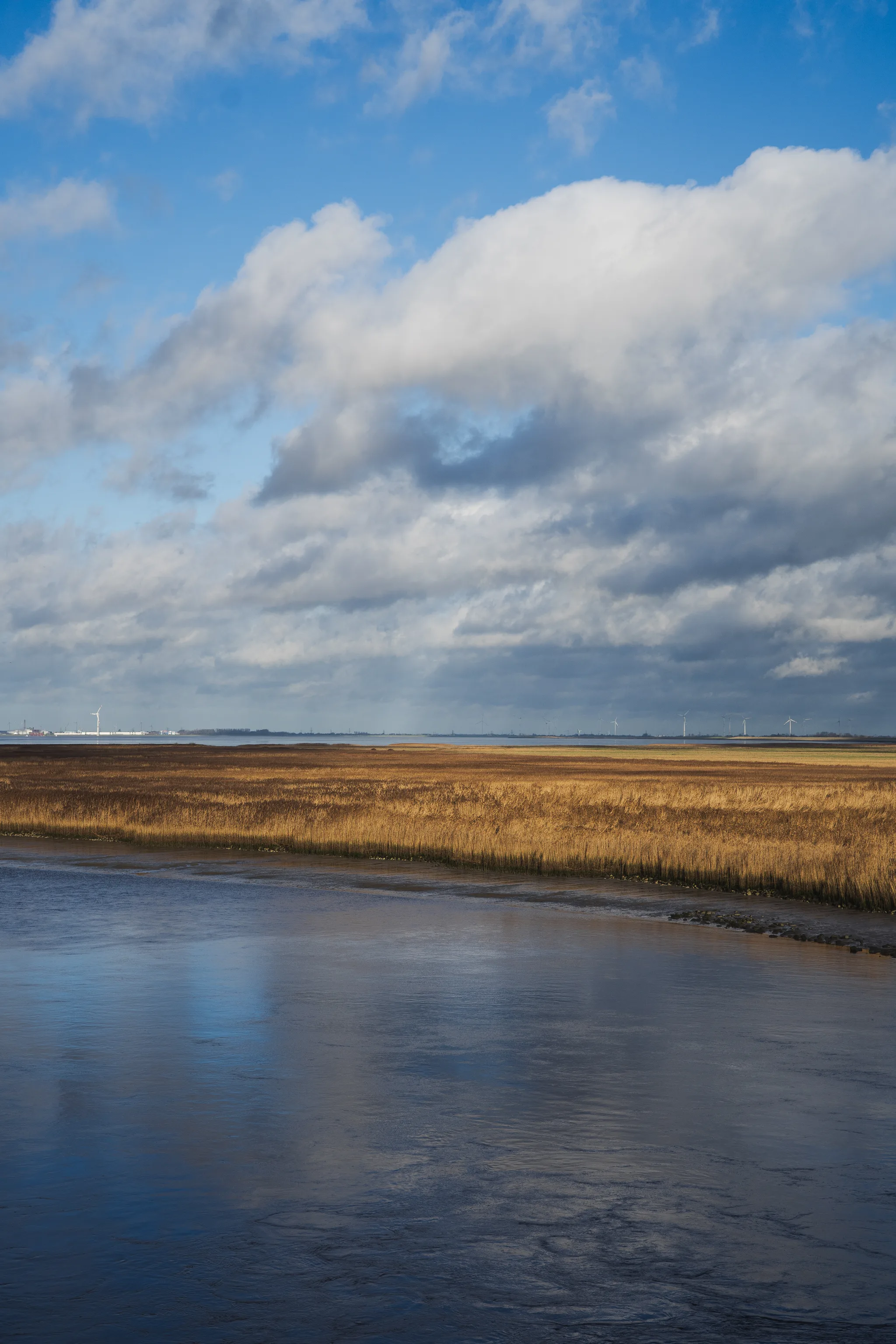
The Dollart, a wide bay in the Wadden Sea estuary, marks a unique point where the border between the Netherlands and Germany blurs—quite literally. A long-standing dispute leaves the exact boundary line undefined, with Germany claiming the Dutch shore and the Netherlands the main channel. Here, the vast mudflats stretch out under the autumn sky, a shared landscape defined more by tides than by lines on a map.
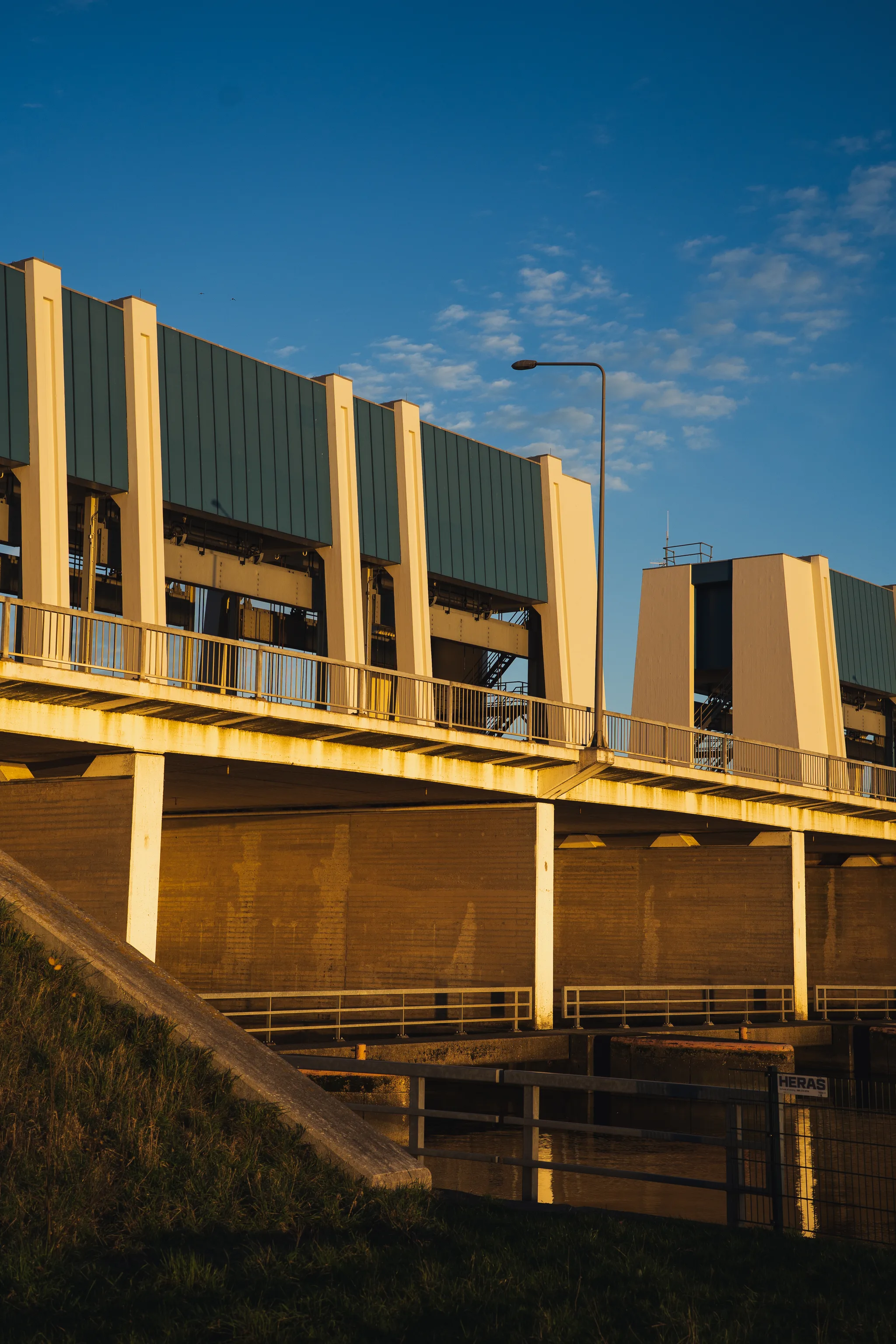
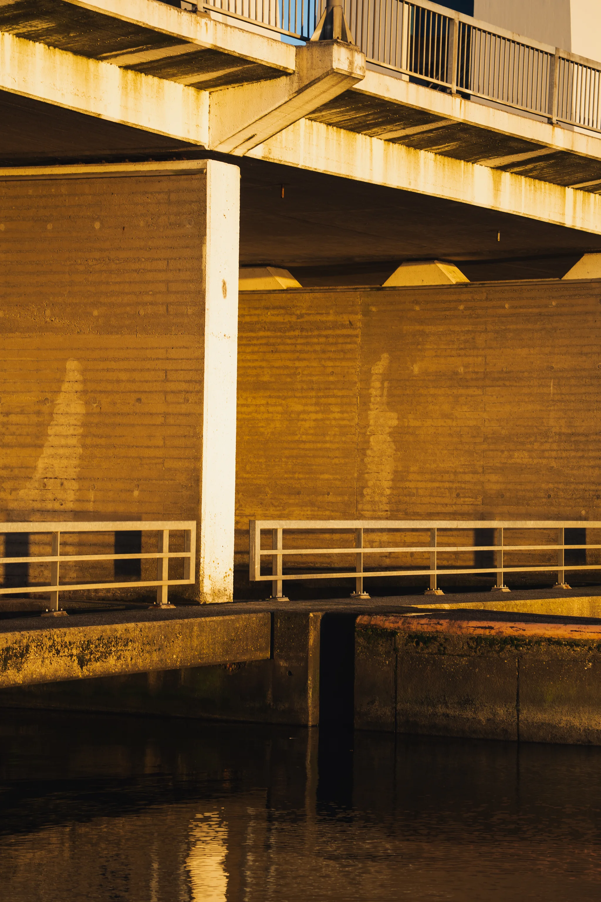
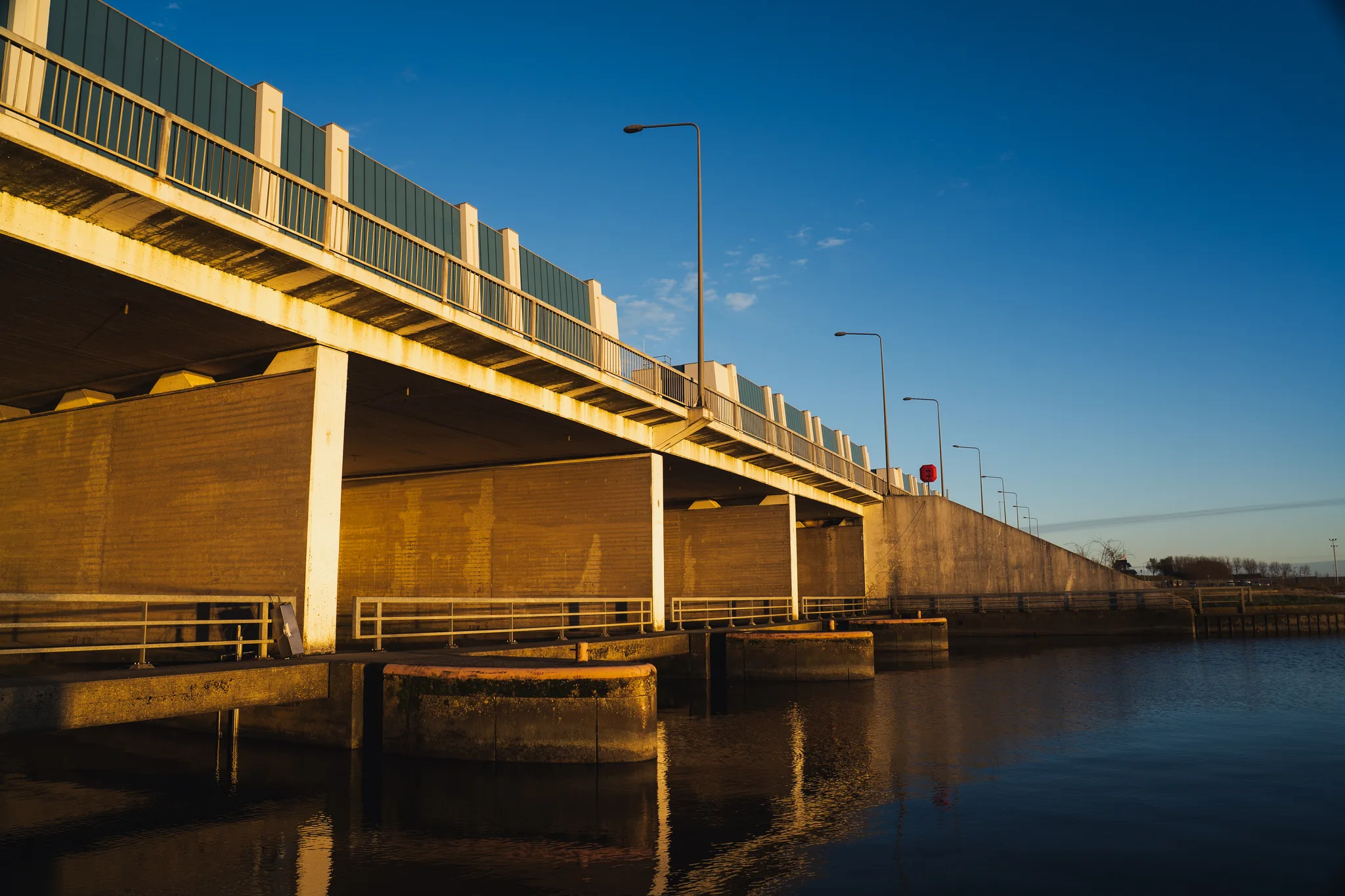
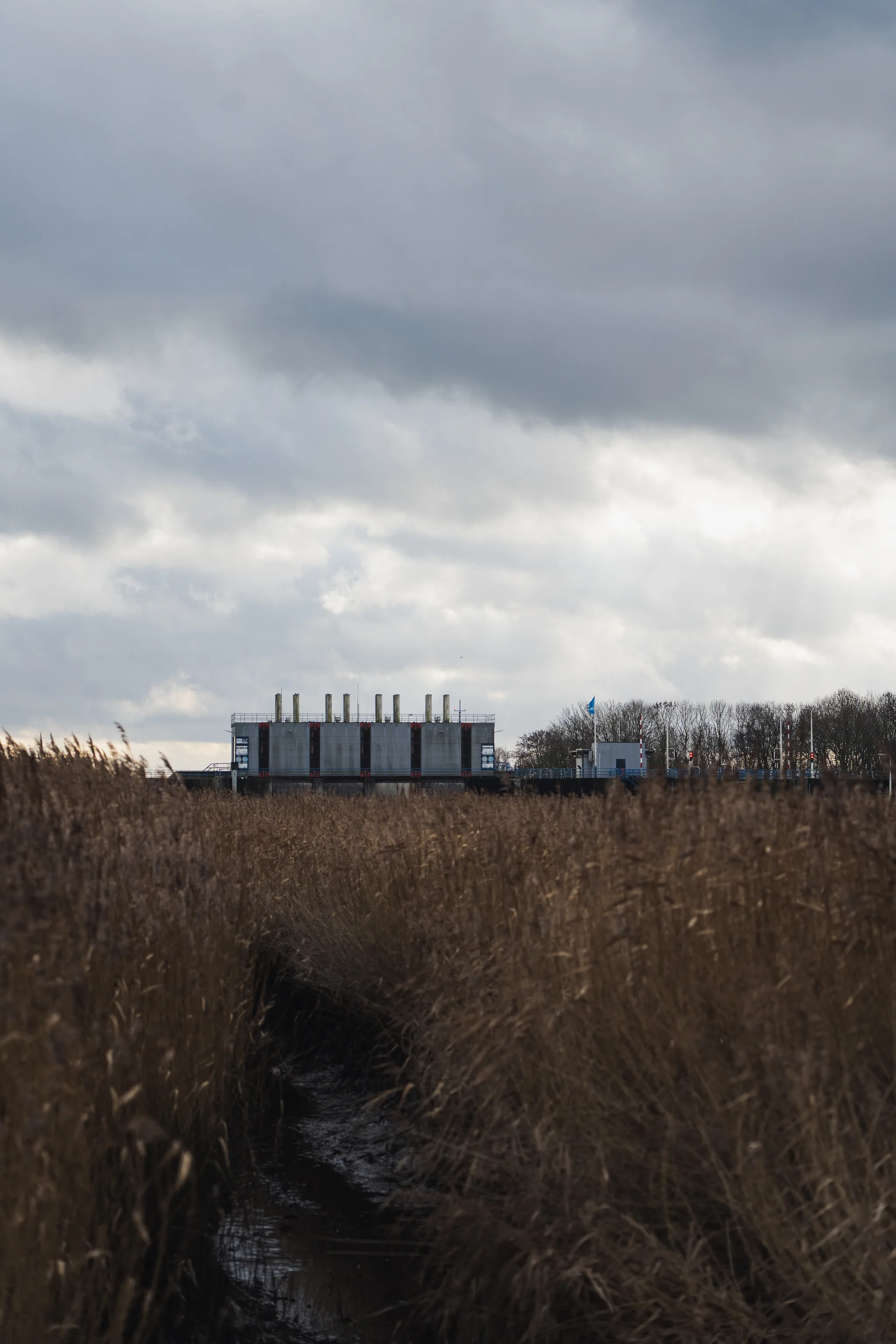
Further along the coast at Lauwersoog, the relationship between land and water takes on a more engineered form. Massive sluices and dikes protect the hinterland, creating a sharp contrast between the rigid, functional lines of water infrastructure and the soft, organic chaos of the surrounding nature. In the evening light, these concrete structures stand as silent monuments to the constant negotiation with the sea.
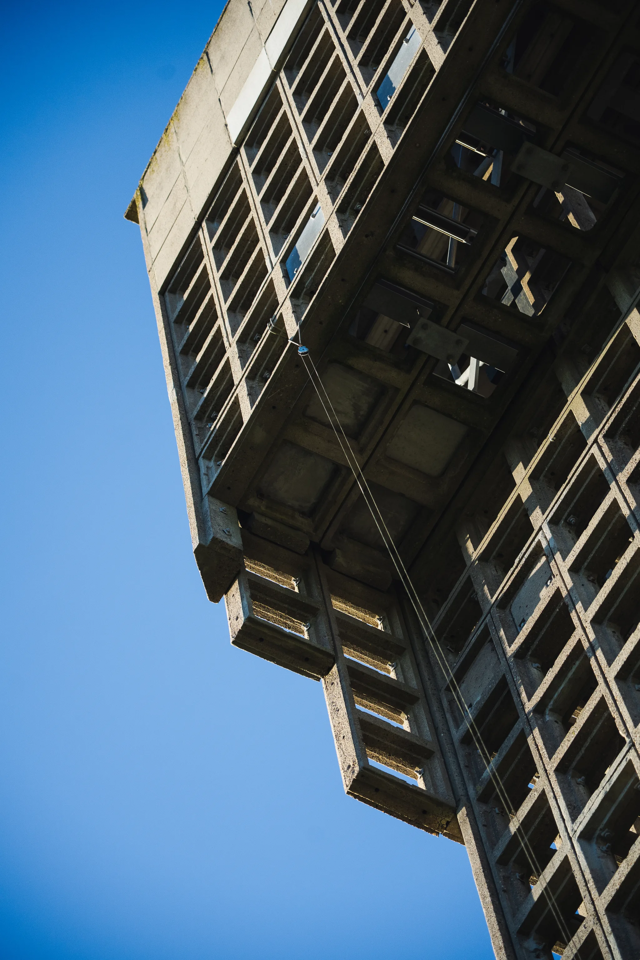
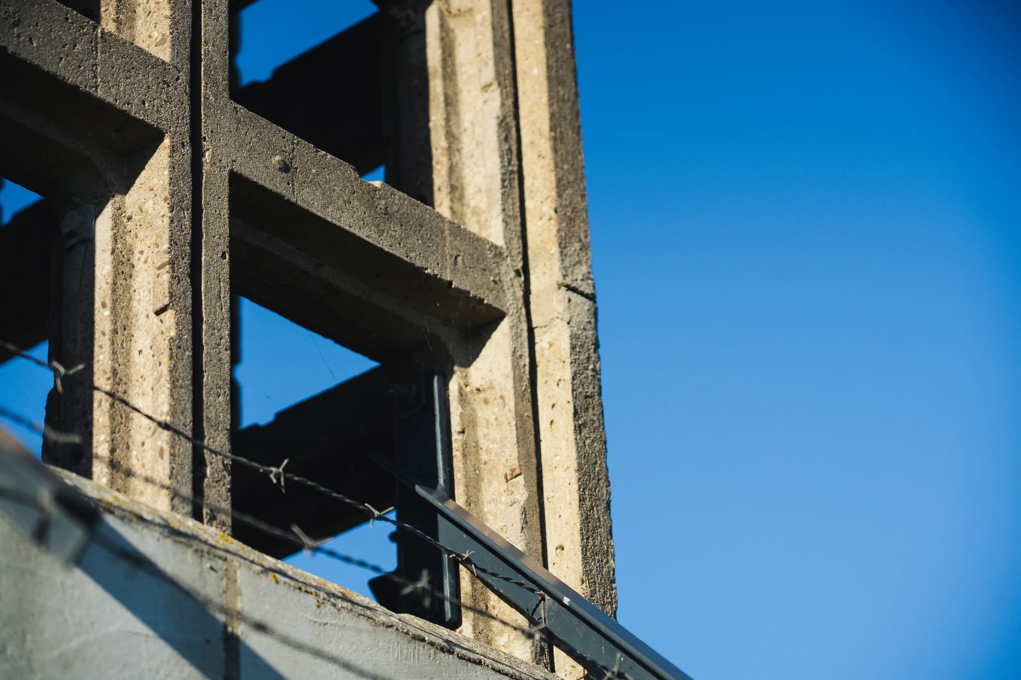
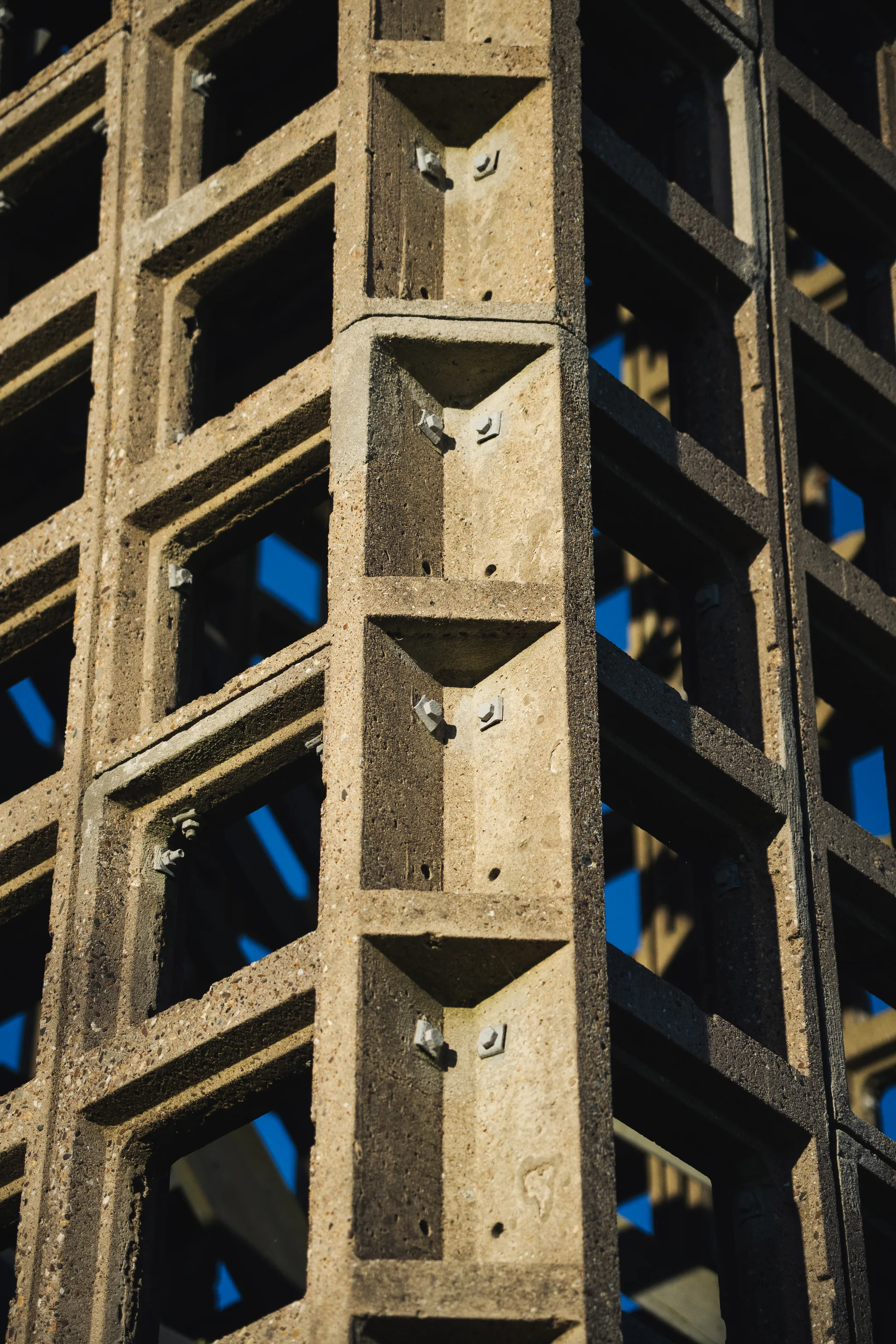
Scattered across this landscape are remnants of a more guarded past: the concrete watchtowers of the Korps Luchtwachtdienst. Built during the height of the Cold War, this formerly secret network of observation posts was designed to spot low-flying Soviet aircraft that might evade radar detection. Today, these silent sentinels stand as brutalist relics, their original purpose obsolete, now merely watching over the quiet fields and shifting tides.